Walking the 7 Train in Queens, New York
I lived within walking proximity of the 7 Train most of my 12 years in New York City. During my final two years in Sunnyside my apartment was a few blocks from the 52nd St station, so the rumble of the train was a constant while out in the neighborhood.
Most of those last few years I wasn't making many photographs around my neighborhood. I'd moved onto mainly photographing in the parks by that point. But back in 2013 when I first moved to Astoria, I had an idea to photograph around the 7 Train because I thought it was the most unique subway line in the city and offered an interesting perspective on Queens.
Over the course of several months, I rode the 7 Train and walked around the neighbhorhoods making photographs. This was during a period where I was exploring what I could do with a point and shoot camera, and was still entralled with the democratic forest approach to making photographs.
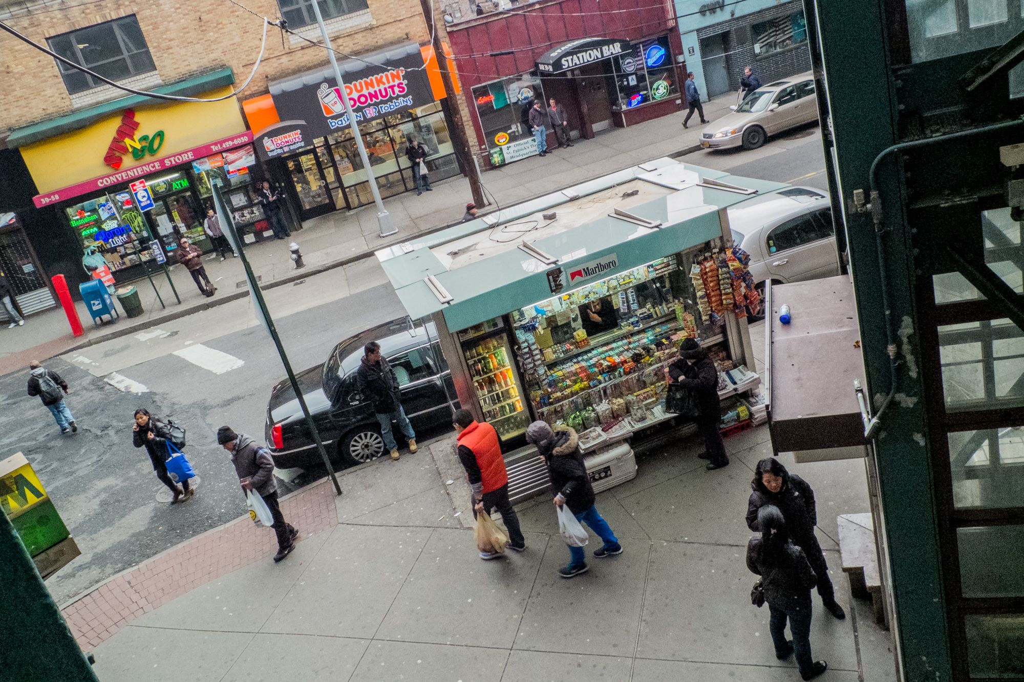
L: Woodside, Queens, January 19, 2013; R: Corona, Queens, March 10, 2013
It was productive but somewhat aimless now that I look back on it. I was happy with the photographs but I eventually just left them in the archive and moved on.
As I've mentioned in the past, I keep an active spreadsheet with the details about the walks that I record on Strava. It goes back to 2014 but the efforts for those first few years were spotty. I only had a few entries.
I didn't start to use Strava seriously until 2019. That's when I became much more interested in collecting the data, and more importantly, how the record of the walks could change my perspective on the art and photographs, as well as my memory.
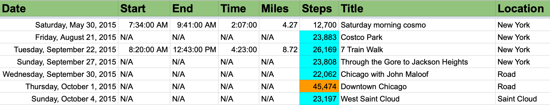
Lately I've been consumed with a sketchbook type project from the first few months of the pandemic, but during one stroll through the spreadsheet, I found a walk from 2015 from along the 7 Train.
It was an outlier. I had walked the entire length of the 7 Train in Queens, which was only about 7 miles. I remember it, but not vividly.
L: Jackson Heights, Queens, February 24, 2013; R: Jackson Heights, Queens, January 20, 2013
I had the day off from work and had no plans. I'd been thinking about making this walk and for some reason that day I decided to do it. But the catch was that I wouldn't make any photographs, which during that time period, would have been a challenging personal limitation.
My idea was that I wanted to spend the time simply observing and taking in the vibes, and then pick up the 7 Train project again, this time with fresh insights after a few years. However, something interesting happened on that walk. I realized I didn't want to photograph around Roosevelt Avenue or the 7 Train any longer. I wasn't feeling it. I was done. The walk was the end.
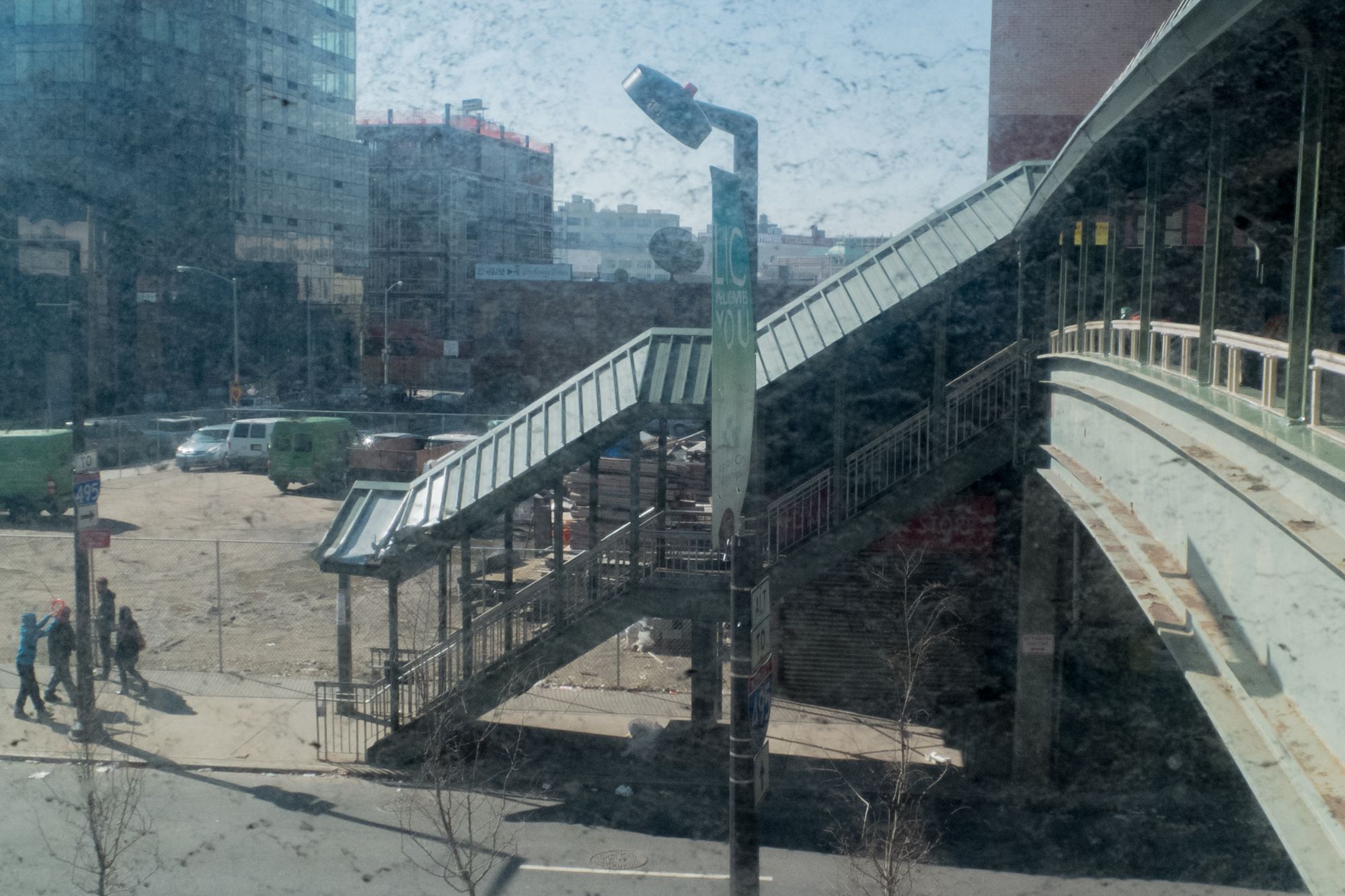
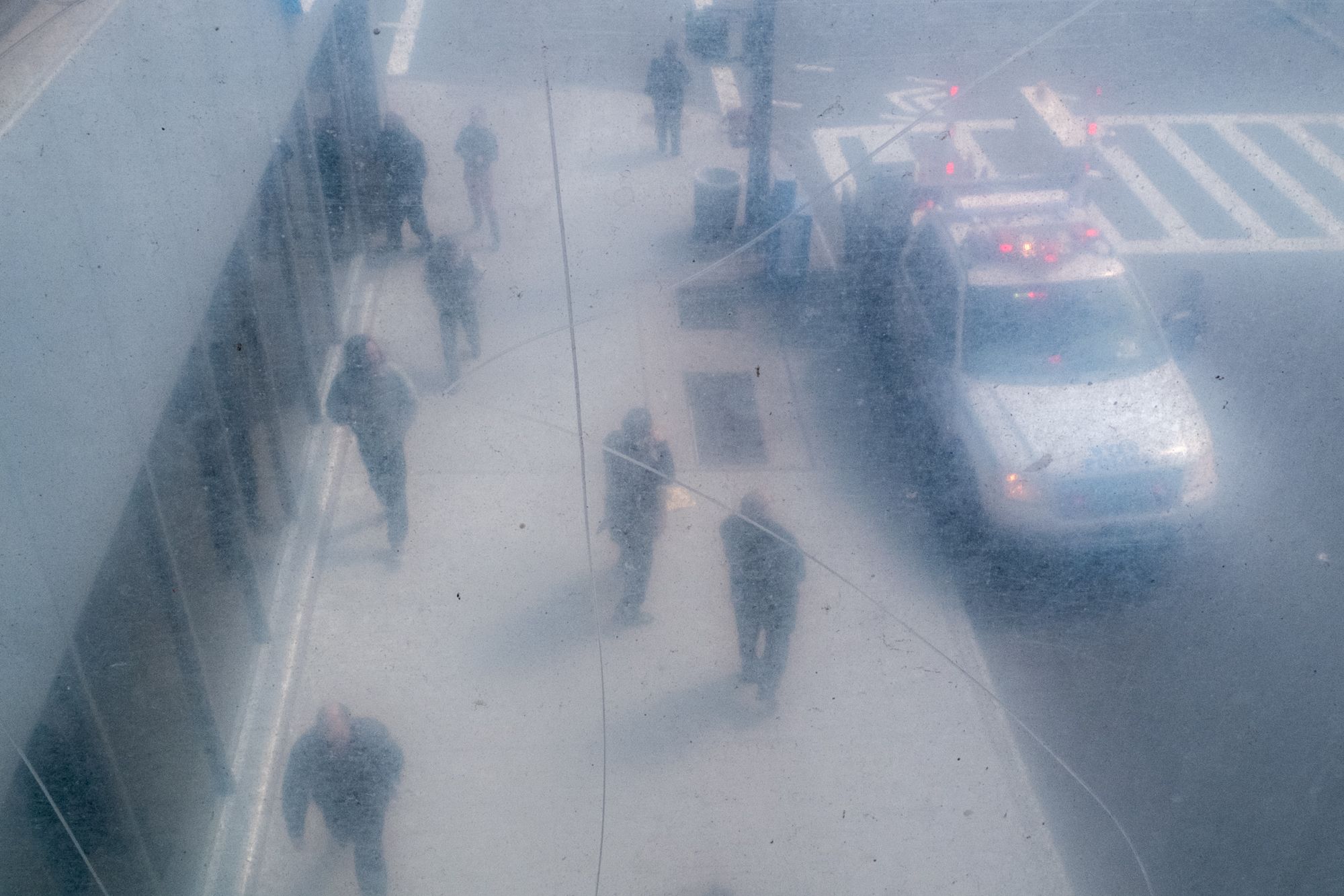
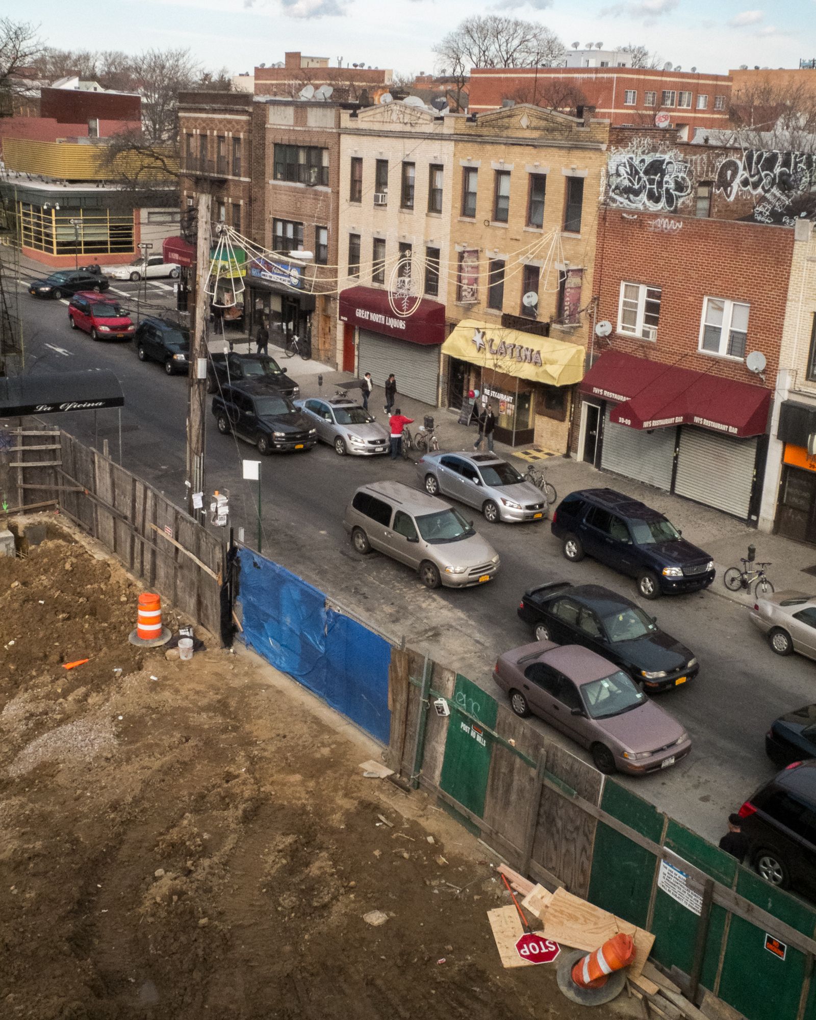
L: Queensboro Plaza, Long Island City, Queens, March 10, 2013; Woodside, Queens, January 19, 2013
Over the last few weeks, I've been re-editing the photographs I made along the 7 Train in those walks before the final complete walk, and have threaded the needle on an edit that I think works better than my original approach, which contained a lot more candid moving masses type photographs.
I started noticing a pattern that has become familiar to me: a focue on pedestrian infrastructure.
After thinking about it, this started to make sense. It's somewhat where I've been going all along, but back then I didn't realize it. The pedestrian infrastructure around the 7 Train is rather unique to New York.
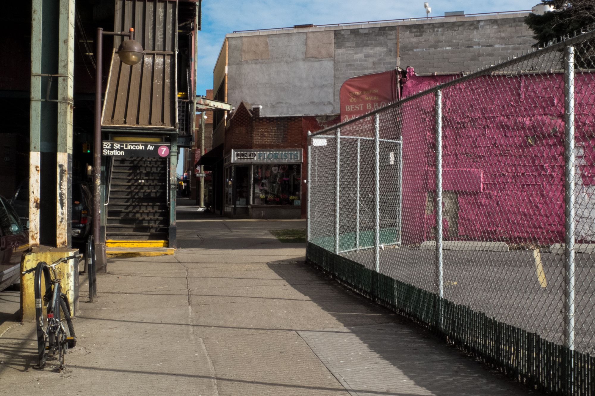
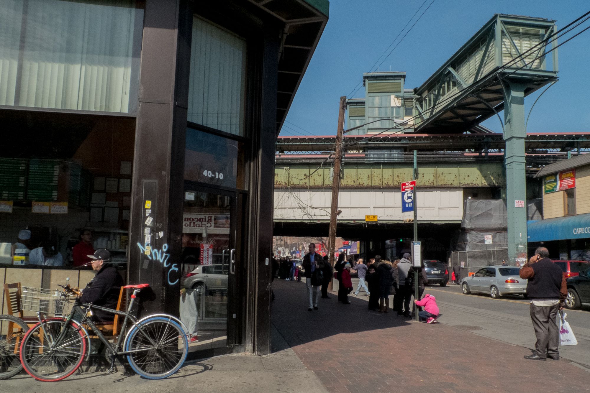
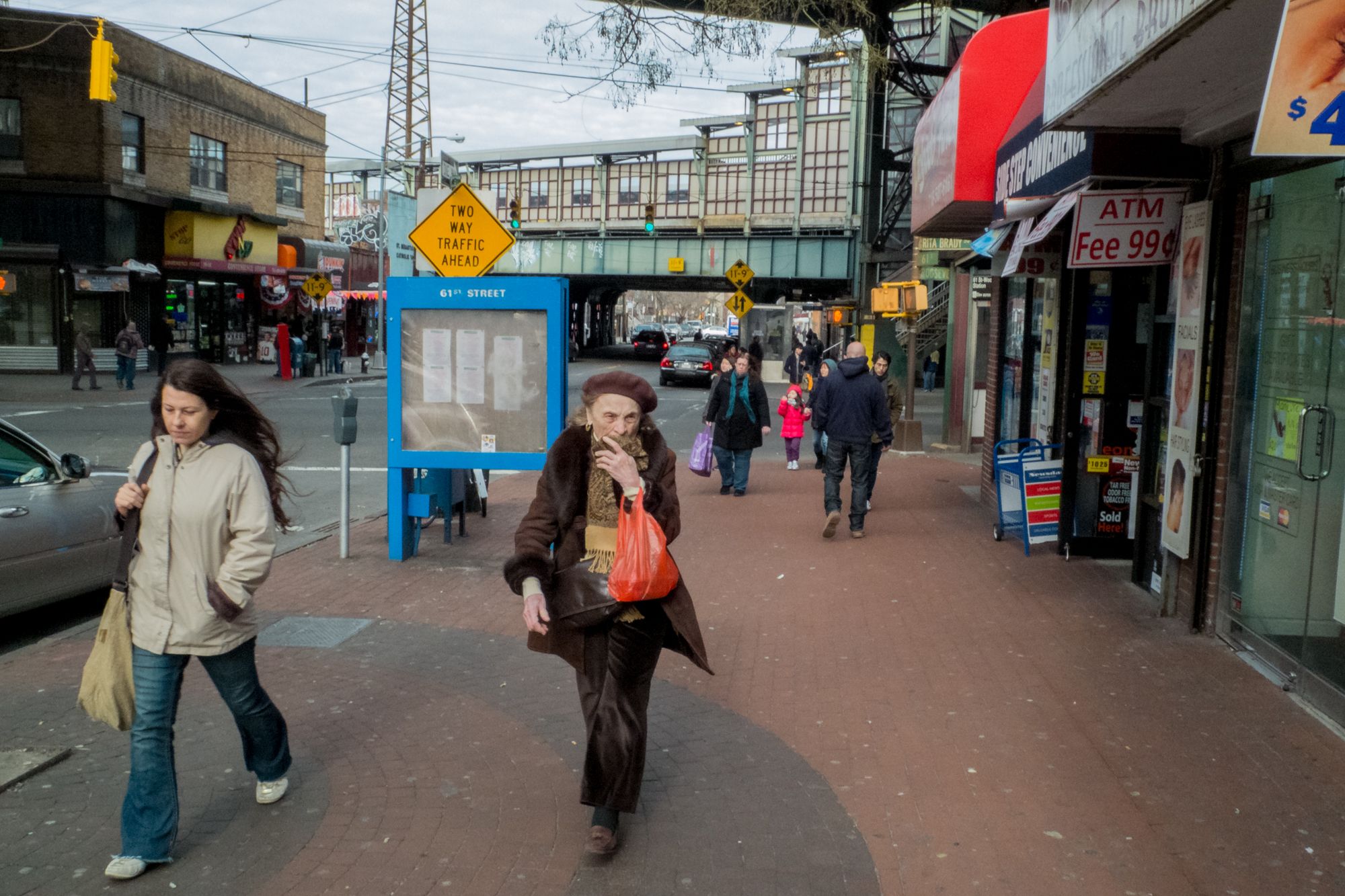
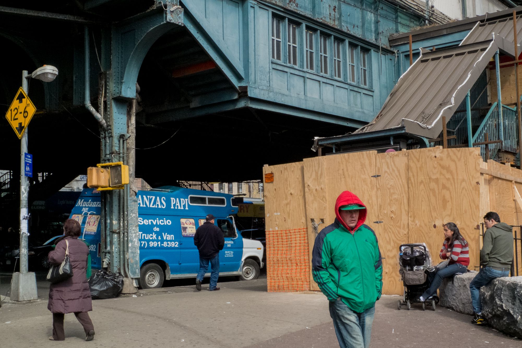
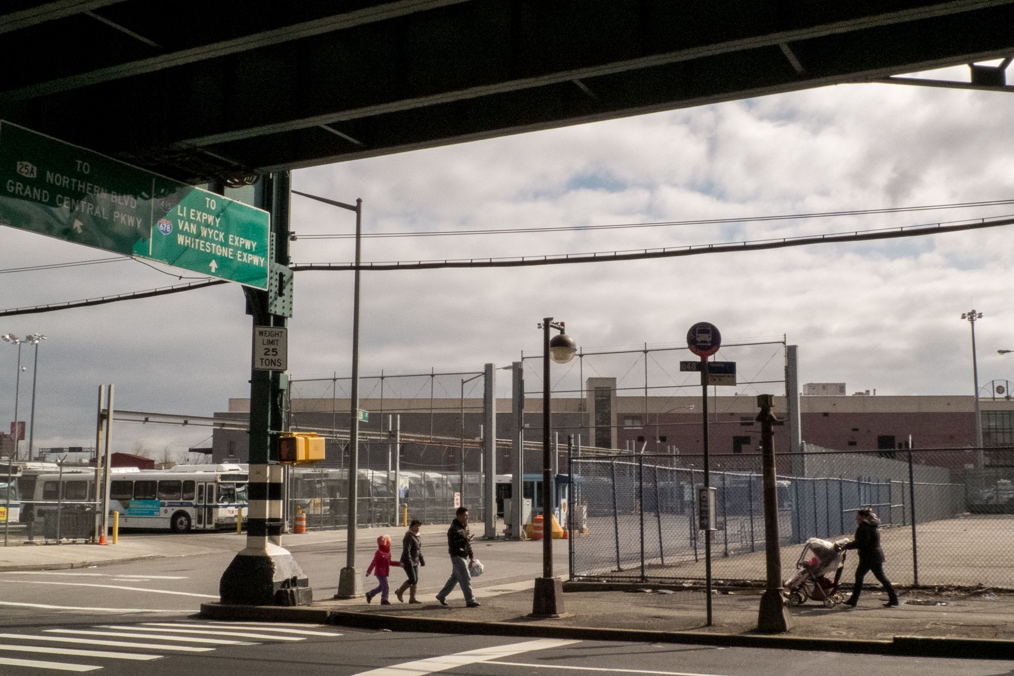
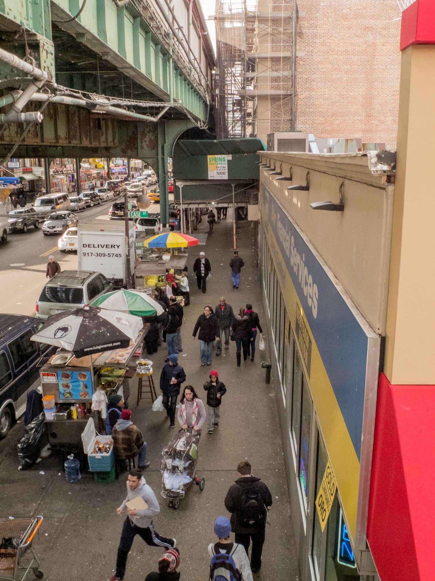
First, the 7 Train is almost entirely elevated in Queens so it's an imposing structure on the landscape. You can't miss it if you're in Western Queens.
Second, the view from the 7 Train platforms give you an unique perspective on the street life below on Roosevelt Ave, as well as some dynamic views of the Queens landscape, and as you get closer, the Manhattan landscape.
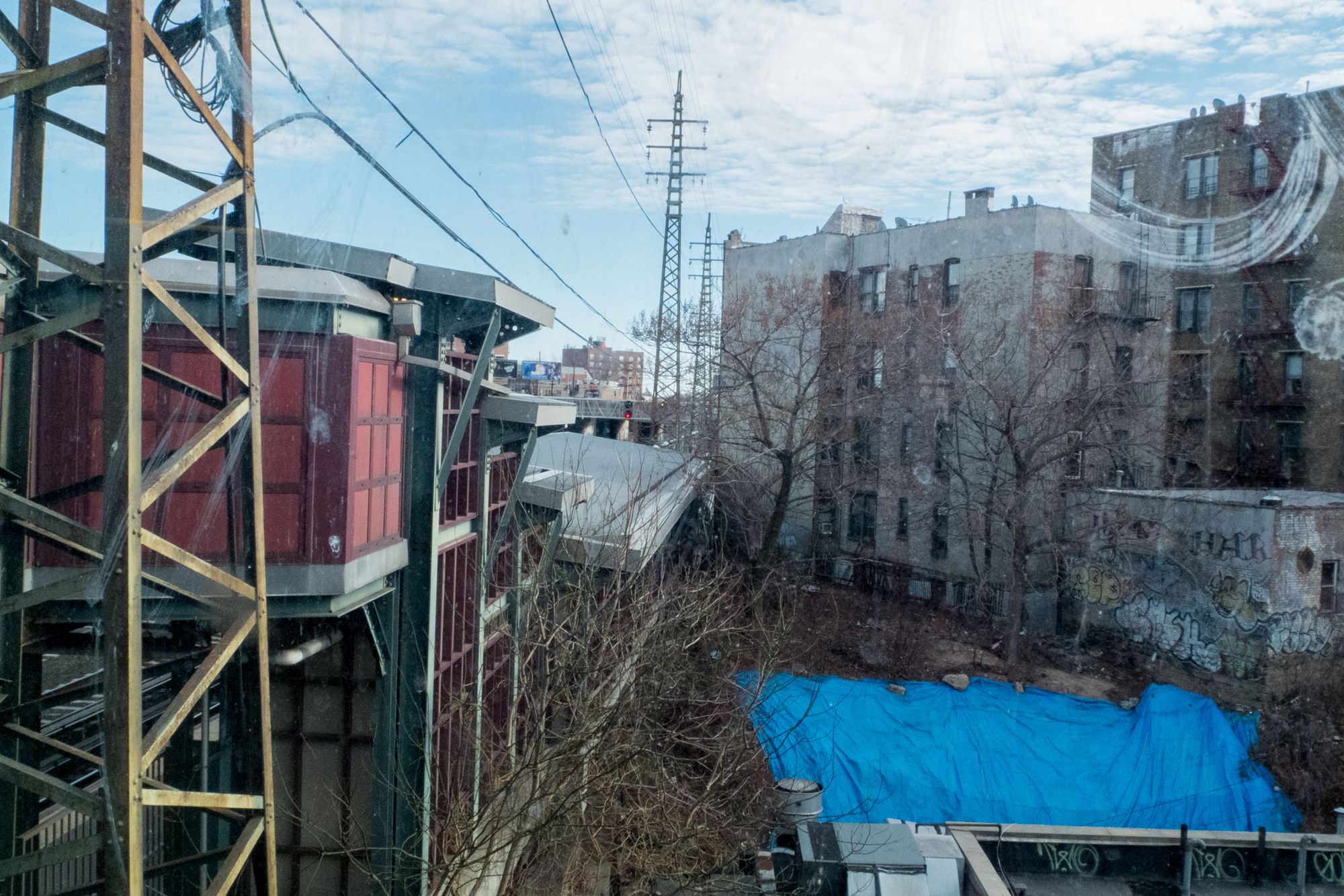
L: Long Island City, Queens, March 20, 2013; R: Sunnyside, Queens, January 20, 2013
To be clear, I don't think I fully realized these ideas. If I'd understood this much earlier, I could have refined my approach and taken the Mamiya 7 to see how I would have photographed using that camera.
But that never happened, and since I probably will never live in Queens again, this is all in the past. It's a sketch from the archive.
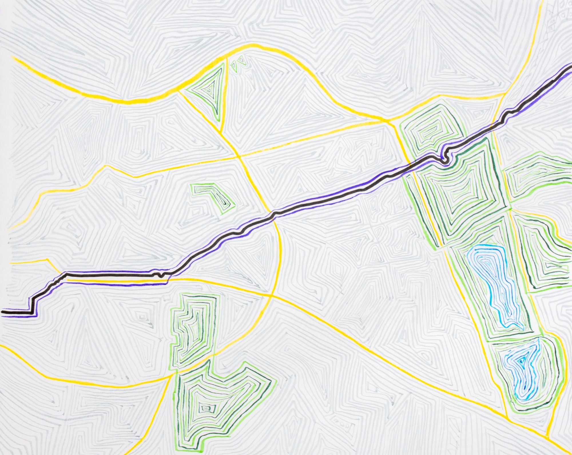
I decided to draw a map of that walk along the 7 Train from Tuesday, September 22, 2015 to complete the sketch of the project. I have been thinking about perhaps drawing a few more maps, perhaps from around specific stations where I know a photograph was made. That might still happen.
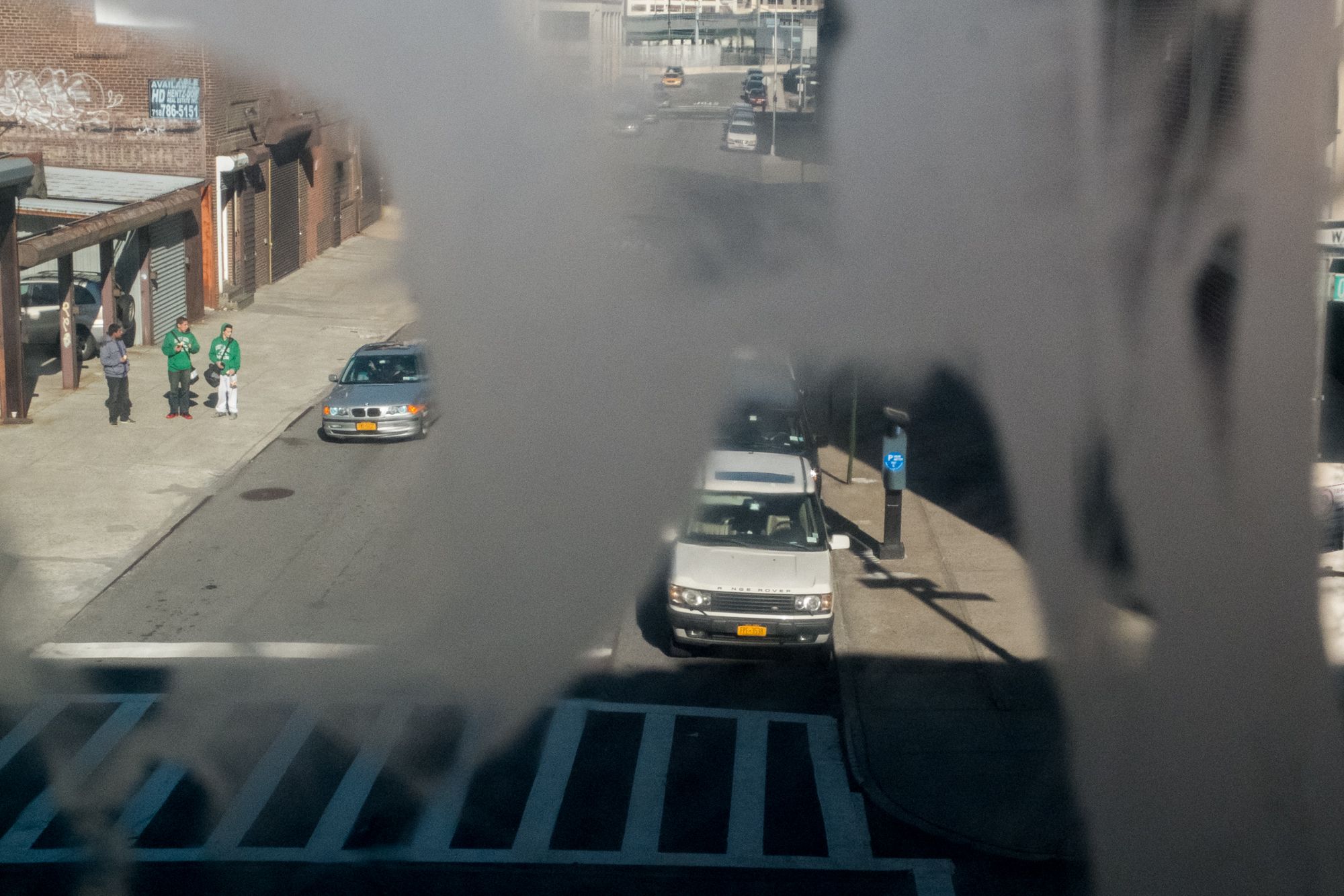
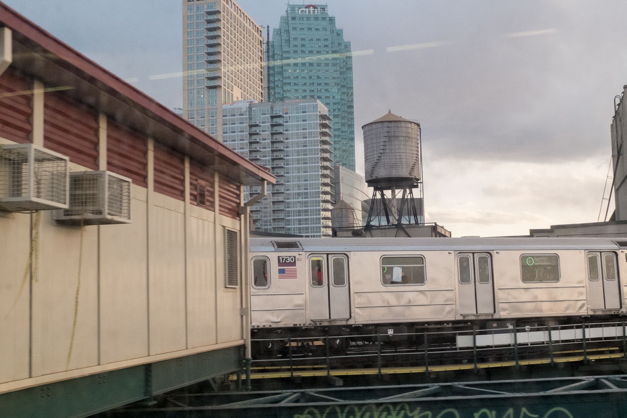
L: Long Island City, March 25, 2013; R: Long Island City, January 19, 2013
With every project or essay, there's always something to learn for future projects. I don't think you can grow without this type of reflection, and who knows, this aborted, sketch of a project could intersect with a larger project down the line, since I still need to work through a lot of ideas, and photographs from New York City. It's going to take the rest of my life probably.
I find this process of digging into the archive rewarding, and have known for the last decade that collecting all these photographs was just the beginning of a longer creative process.
I've always been fascinated by how our perceptions of photographs change over time, and how we can re-interpret our archives. I think I probably did this all on purpose, subsconsciously, before I realized it. Even the walk without making photographs was a first experiment on a new way of working.
Putting these few pieces of the puzzle together adds up to something unique in my archive for me, and while this may not amount to more than a link on my website and sharing in this newsletter, I found inspiration and insight in putting the puzzle together. (Maybe I'll make a small book, or zine.)
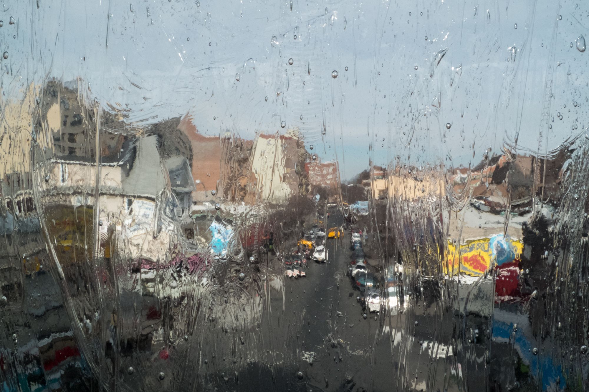
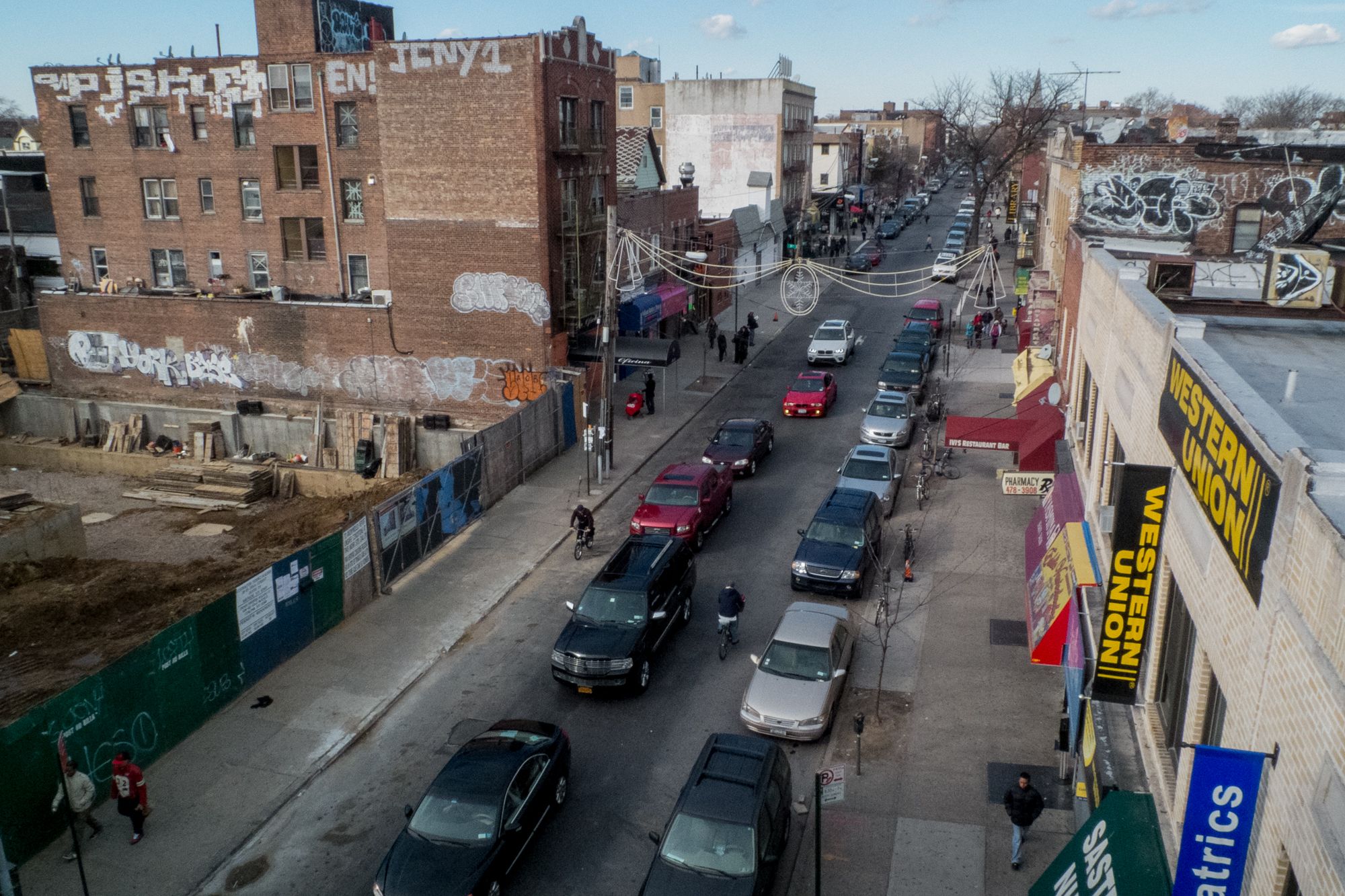
Along the 7 Train, January 20, 2013
From my perspective, riding the 7 train is one of the most unique transportation experiences you can have in New York City, so you should definitely make it part of your visit to NYC. The 11 mile route starts in Manhattan at 34th St and runs through western Queens mostly along Roosevelt Avenue before ending in Flushing. During a little bit of Googling, I learned it's one of the 17 National Millenium Trails.
National Millennium Trails are 17 short- and long-distance trails selected from 58 nominees as visionary trails that reflect defining aspects of America's history and culture. The trails were chosen on June 26, 1999, by the White House Millennium Council and announced by U.S. Transportation Secretary Rodney Slater at the second international Trails and Greenways Conference in Pittsburgh, PA.
I guess that's one down, sixteen to go! Strange how a new project gets a start.